We all like our information, charts, graphs, anything you can look back on and dissect. So, I thought what can I use for runs out on the motorbike. I used to go a run, and when I got home I would map out the run on google maps and post it in the runs section. Now, there are apps for that, not perfect as they are designed for running and cycling, but they gather up good information, and map your route. I looked at the many free apps available for download, and rounded it down to two to try out, the Nike+ app and Endomondo. Both mapped my route and gave information such as top speed, average speed, altitude distance and duration. Other information available is calorie count which I don’t think is very accurate.
My personal preference was the Endomondo app, I felt was a bit better designed and more stable with the gps signal. The web site is also easier to navigate round. It displays all your activity in a calendar and shows all your info when clicked. Below is a screen shot form the Endomondo website.
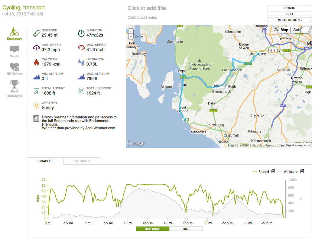
So if you like your information breakdown, these apps are good fun, but be aware, the max speed might be a bit incriminating.

Leave a comment